What is the meaning of "at mean water level ...."?

Often, when we provide information on port restrictions, the question arises as to the meaning of the term „at mean water level …”? I will answer this question briefly.
To begin with, let us distinguish between water level and water depth:
Water depth means the depth of the water between the surface and the seabed.
Water level refers to the height or elevation of water above or below a reference point.
It should be noted that water depth changes with changes in water level. Therefore, the water level serves as more practical information, assuming that the topography of the seabed in a given location remains stable over the longer term.
When providing data related to the water depth, it’s necessary to establish a universal vertical datum reference point to define the zero level. Since the Earth isn’t a perfect sphere, geodetic and cartographic needs require fixed reference points to enable height comparisons over larger geographical areas, extending beyond individual countries or regions. From 1 January 2024 onwards, the only reference point for vertical measurements (H=0.000) applicable in Poland will be the point determined by the mareograph in Amsterdam, based on measurements from 1683 and 1684, known as „Normaal Amsterdam Peil” (N.A.P.) in Dutch or „Normal Null” (NN) in English. Until the end of 2023 in Poland, two height reference systems were in use PL-KRON86-NH (Kronstadt) and PL-EVRF2007-NH.(N.A.P)
So, if Poland’s zero level matches Amsterdam’s zero level, what does the value „at mean water level …” stand for?
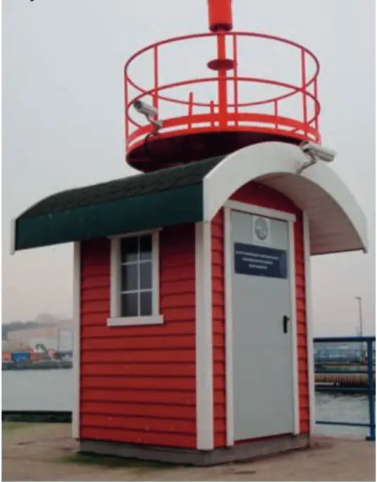
For example, the gauge for the Northern Port in Gdansk, „the mean water level 493,7 cm” is a name for the 'zero level.’ For technical reasons, 493,7 cm is added to the zero reference level to operate on positive numbers. For example, „level 490 cm means that the current water level is 3,7 cm below the reference level (i.e. zero level).
Under the discontinued Kronstadt system, the zero level was defined at 500 cm, so the difference from the N.A.P. was 6.3 cm.
Source: Own elaboration
ADDRESS & BUSINESS REGISTRATION
-
Anchor Agents & Shipbrokers Sp z o.o.
Aleja Zwycięstwa 241/13
81-521 Gdynia
Polska - KRS 0000187325; NIP 5881007972
